
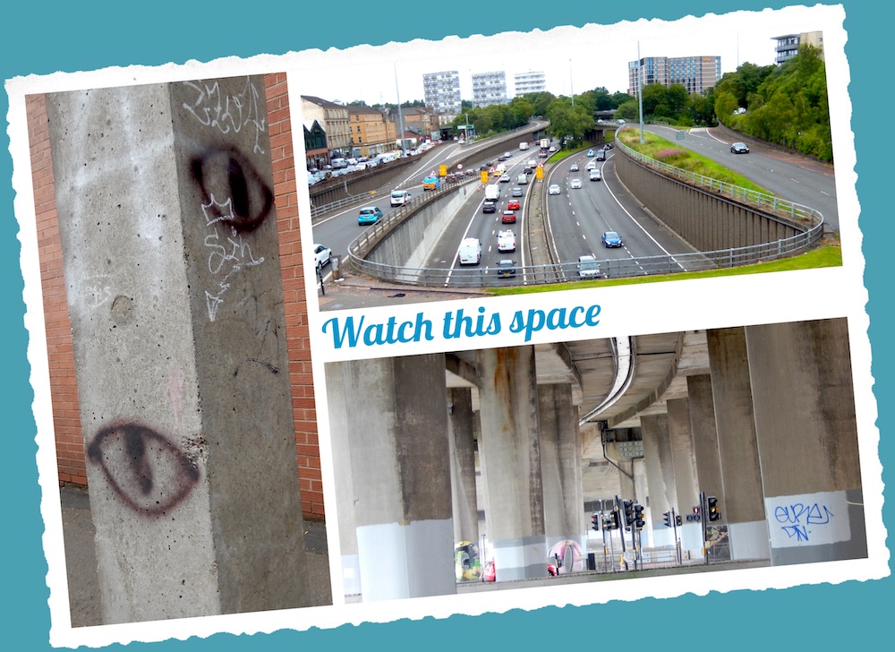
The story of a walk around the Glasgow Inner Ring Road, my contribution to the Fourth World Congress of Psychogeography 2023.
To save Glasgow, it was necessary to destroy it. Robert Bruce, the city engineer, and his political overlords wanted to preserve the city’s million-plus population in the face of Scottish Office schemes to take Scotland’s largest city down a peg.
The Bruce Plan, published in 1945, proposed the demolition of every building in the city centre, to be replaced with modernist blocks in a rational grid. The revised centre was to be surrounded by an inner ring road, as part of an ambitious transport plan.
The Scottish Office, however, produced a rival scheme. The Clyde Valley Regional Report, which was prepared by Sir Patrick Abercrombie in 1946 and published by the Scottish Office as The Clyde Valley Regional Plan in 1949, proposed to disperse 550,000 of Glasgow’s 1.1 million population across the city’s hinterland.
This plan, supported by the national planners in Edinburgh, reflected the desire of the political and administrative elite to reduce the power and status of the western upstart.
Edinburgh prevailed, and the Corporation of the City and County of Glasgow faced a challenge to its status as the commercial and industrial capital of Scotland. The grandees of the capital devised and controlled a series of five New Towns, and around a third of Glasgow’s population absconded to these and neighbouring counties.
The new towns offered jobs for workers with skills in light industries and services, and houses for families with working breadwinners, seriously depleting the capabilities and tax base of Glasgow.
And the ring road? Just over half was built as part of the M8, along the north and west flanks of the planned route. Glasgow, as Billy Connolly once observed, became the only place with a bypass that goes through the city.
Following Bruce and Abercrombie, the Glasgow Development Plan of 1954 (and a significant review of that plan in 1960) set out a vision for the future of the city.
The changing face of transport, including the rise of the private motorist, called for separate highway planning. Scott Wilson Kirkpatrick & Partners was appointed in 1960 to prepare proposals for a new network of roads that would support and enable the overall plans. That firm of civil engineers produced its Interim Report in 1962 and its final proposals, titled A Highway Plan for Glasgow, in 1965.
A circle of concrete and tarmac
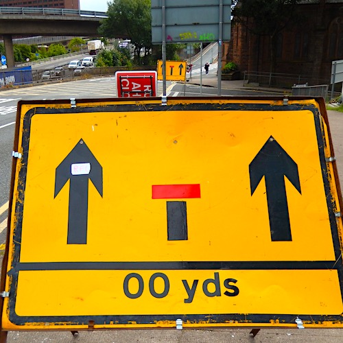
The Highway Plan proposed a network of new roads, including an inner ring road, to be completed by 1990. Overall, there would be 56 miles of new roads, 48 of them to urban motorway standards. The M8 – arguably Scotland’s first motorway – was built in the 1960s, as part of the post-war redevelopment of Glasgow and its hinterland.
The city centre was saved (Sir John Betjeman is quoted as calling it the best preserved Victorian city in the world), but the corporation declared 29 Comprehensive Development Areas, which included Anderston, Cowcaddens and Townhead, which lay along the route of the proposed GIRR. The CDAs, which faced being erased and redrawn, were symptomatic of a crumbling city.
The motorway became a symbol of progress, demonstrating that the city was moving away from metal bashing to the sunrise industries and the service sector. Progress, as always in Glasgow, was as much about removing the past as inventing the future. The Bruce Plan provides but one example.
In this instance, as Chris Marshall, of the roads.org.uk website, says: “There were few problems in the 1960s that could not be solved by massive capital investment in things that were made of concrete”. [ Link ] In Glasgow, this meant a circle of concrete and tarmac, with associated demolition of Victorian tenements and workshops. For the city to survive, Marshall adds, “it had to become more than just a modern city; it needed to be positively futuristic. The brave new world called for offices, commerce, communications and all the infrastructure that these things call upon.”
And all linked by miles of motorways. The authors of the Scottish Roads Archive [ Link ] agree that the Glasgow Inner Ring Road was “heralded as […] a visionary new road that would prepare Glasgow for a prosperous future”.
The Highway Plan, agreed in 1965, was designed to be delivered in five-year stages, with reviews at each stage to check against changes in public policy. Target One, the first of the stages, was a continuous motorway across the city, connecting the Renfrew Bypass in the west to the A8 Edinburgh Road in the east.
This became the M8 between junctions 15 and 20. This stage included the Clydeside Expressway, designed to connect the Clyde Tunnel (which opened in 1963) and the west flank of the inner ring road. Work began on Target One in 1965, and was due to be completed by 1975.
This stage, actually completed in 1980, was the only part of the Highway Plan to be realised completely. Target Two, scheduled for 1975-80, included the Maryhill and Lomond Motorways, the Springburn Expressway and the south and east flanks of the inner ring road. Of this, only the Springburn Expressway (A803) was constructed.
Crashing through Charing Cross
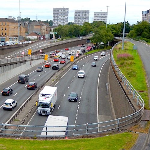
Planning work on the Target Two schemes started in the early 1970s. But, according to the Scottish Roads Archive [ Link ] halted progress: Local government reorganisation in 1975, which led to changed priorities in road building; reduced funding for construction projects, especially after the 1979 general election; and a significant change in public opinion on new roads.
On the final point, the archive notes: “The sheer scale of the disruption and changes brought by the north and west flanks, especially through Charing Cross, shocked residents.”
Expanding on this, the archive says: “The Charing Cross section may have escaped significant criticism during the planning stages, but the experience of the construction phase irretrievably damaged public support for the entire ring road.
“The sheer scale of the disruption involved in clearing the site and then the radical change in the character of this part of the city divides opinion to this day.”
Target two may not have been completed, but the half ring road, as built, has some intriguing tabs and sockets that would have linked to the unbuilt sections and the proposed suburban motorways. These ghost routes can be traced by the demolitions and realignments along the proposed corridors.
Planning blight, it’s called, when the shadow of redevelopment stifles repairs or redevelopment along a potential route or footprint. More significantly perhaps, the built portion of the GIRR acts as a barrier between communities, a fast-flowing river of metal that has to be negotiated by high-wire bridge or stygian underpass. What makes matters worse, according to the Pathetic Motorways website [ Link ], is that “the unbuilt side was expected to be the busier of the two sides. In places, it was planned to be six lanes wide”.
All this and more can be seen on a walk around the 1965 Highway Plan route. Our perambulation is anti-clockwise (because that’s how Iain Sinclair dealt with the M25) and begins at the truncated decks of Kingston, known locally as the ski slopes.
[Continue reading ‘Ringing the changes’ here]
This piece was selected to be part of the Fourth World Congress of Psychogeography. The postcard, and a short presentation describing the walk, was featured in the finale on Saturday 9 September 2023.